
Nav Question
 02-21-2022, 08:17 PM
#16
Pro
Thread Starter
Thanks guys, these are all great points and Mark I agree, I’d rather stay on a highway than save minutes going through a residential neighborhood.
I wonder if Waze is better than Google maps in that regard?
I wonder if Waze is better than Google maps in that regard?
Last edited by lml999; 02-21-2022 at 08:37 PM.
 02-21-2022, 08:37 PM
#17
RL Community Team
Rennlist Member
Rennlist Member
(edit: Waze and Google Maps employ entirely different routing algorithms)
Waze does have a couple of basic configuration options -- tolls, freeways, etc. I'd like the "enthusiast" option...you know...route me 30 miles out of my way so I can run the Trail of the Dragon...

Last edited by lml999; 05-10-2022 at 09:29 AM.
02-21-2022, 08:44 PM
#18
My gut says NO!
Every time my wife opens Waze on her phone, to see if she can do better than my Google Maps, we end up taking the most convoluted routes. I hate it. One time, while traveling South through Pismo Beach, Waze had us get off the 101 to avoid traffic. As I was stuck for 20 minutes on the off-ramp, I saw traffic flowing freely on the main-line. Waze added an hour to our trip, as we zigzagged around Pismo proper.
Every time my wife opens Waze on her phone, to see if she can do better than my Google Maps, we end up taking the most convoluted routes. I hate it. One time, while traveling South through Pismo Beach, Waze had us get off the 101 to avoid traffic. As I was stuck for 20 minutes on the off-ramp, I saw traffic flowing freely on the main-line. Waze added an hour to our trip, as we zigzagged around Pismo proper.
05-10-2022, 09:22 AM
#19
 05-10-2022, 10:20 AM
#20

In my experience, Waze is better for live routing and alerts. I could be completely wrong, but I believe Waze employs crowd sourcing data from other Waze users (traffic alerts, slow downs, polic etc). I think google maps relies on DoT traffic cameras and reports.
My approach is check google maps for traffic pattern along the whole route, then see what waze calculates and review those waze recommendations. Sometimes, it tells you to go 10 miles farther to save 2 minutes. In reality, I know those 2 minutes are meaningless and I am better off on the shortest route. I found these recommendations get even screwier when you are in a city; it doesn't do a great job of factoring in city traffic with stop lights relative to route length. It seems preference is given to shorter route length, which is often the worst option in city driving. More user input is necessary.
The traffic apps will find shortest distance between a and b and then, it looks like, to me, pick a route based on average anticipated speed. It will then also start weighing traffic history and live traffic patterns. But... Apps don't fully anticipate how fast we might drive. Yeah, I95 might have a slowdown that for 5 miles, but I know I can cruise at 80mph once I am past that. Waze might calculate the slow then and then say, for the open road after the traffic, I will do 65mph. Because of that, Waze might tell me to go the Merrit ( an adjacent parkway) where I can sustain 60mph the whole way, with no slow downs. But, in reality, I will do 80mph once I pass the traffic on i95 (and save 5-10 miles distance by not cutting switching highways), so I am better off overriding waze and staying on 95 (in this scenario).
Ultimately, I've found that no app beats the driver knowing the typical traffic pattern and the route options available to them. They are great and often help, but I've been burnt by them too. So for me, the apps are a good recommendation and typically, useful for alerts, but ultimately, I pick the route (and bare responsibilities for those often bad choices in the nyc area). lol
Anyone remember the days of printing our mapquest directions? Now that was something. Simpler times.
05-10-2022, 10:39 AM
#21
RL Community Team
Rennlist Member
Rennlist Member
I once passed a woman on the highway who I was sure was drunk, the way she was swerving back and forth. Turns out she had a paper map unfolded in her lap and on the steering wheel. Weird.
05-10-2022, 10:41 AM
#22
RL Community Team
Rennlist Member
Rennlist Member
I *never* take that route, as many, perhaps most times, there's some slowdown of 10-45 minutes or more. If that slow down occurs after I'm on Route 3, there's no way around it.
Instead I take the more scenic route of 495 to 95...
05-10-2022, 08:04 PM
#23
05-10-2022, 08:10 PM
#24

 05-11-2022, 06:21 PM
#26
Rennlist Member
my wife and i just took a trip to minnesota - we used the nav system on the way there - at one point it had us on a dirt backwoods trail - but only for 3 miles - there was a paved road (we didn't know about) that would have accomplished the same route and at higher speeds - and yes i do have a road atlas - it sometimes allows us to look ahead and see if maybe we want to veer off the prescribed route - we did use google maps for the drive back - i took us on a just slightly different route so didn't see exactly the same things
05-12-2022, 06:12 PM
#27
Today at O'Hare airport I did directions to Terminal 3 short term parking, and the directions took me to Indiana and back.
I was inside O'Hare airport!
05-13-2022, 09:08 PM
#28
Rennlist Member
In my experience, Waze is better for live routing and alerts. I could be completely wrong, but I believe Waze employs crowd sourcing data from other Waze users (traffic alerts, slow downs, polic etc). I think google maps relies on DoT traffic cameras and reports.
My approach is check google maps for traffic pattern along the whole route, then see what waze calculates and review those waze recommendations. Sometimes, it tells you to go 10 miles farther to save 2 minutes. In reality, I know those 2 minutes are meaningless and I am better off on the shortest route. I found these recommendations get even screwier when you are in a city; it doesn't do a great job of factoring in city traffic with stop lights relative to route length. It seems preference is given to shorter route length, which is often the worst option in city driving. More user input is necessary.
The traffic apps will find shortest distance between a and b and then, it looks like, to me, pick a route based on average anticipated speed. It will then also start weighing traffic history and live traffic patterns. But... Apps don't fully anticipate how fast we might drive. Yeah, I95 might have a slowdown that for 5 miles, but I know I can cruise at 80mph once I am past that. Waze might calculate the slow then and then say, for the open road after the traffic, I will do 65mph. Because of that, Waze might tell me to go the Merrit ( an adjacent parkway) where I can sustain 60mph the whole way, with no slow downs. But, in reality, I will do 80mph once I pass the traffic on i95 (and save 5-10 miles distance by not cutting switching highways), so I am better off overriding waze and staying on 95 (in this scenario).
Ultimately, I've found that no app beats the driver knowing the typical traffic pattern and the route options available to them. They are great and often help, but I've been burnt by them too. So for me, the apps are a good recommendation and typically, useful for alerts, but ultimately, I pick the route (and bare responsibilities for those often bad choices in the nyc area). lol
Anyone remember the days of printing our mapquest directions? Now that was something. Simpler times.
My approach is check google maps for traffic pattern along the whole route, then see what waze calculates and review those waze recommendations. Sometimes, it tells you to go 10 miles farther to save 2 minutes. In reality, I know those 2 minutes are meaningless and I am better off on the shortest route. I found these recommendations get even screwier when you are in a city; it doesn't do a great job of factoring in city traffic with stop lights relative to route length. It seems preference is given to shorter route length, which is often the worst option in city driving. More user input is necessary.
The traffic apps will find shortest distance between a and b and then, it looks like, to me, pick a route based on average anticipated speed. It will then also start weighing traffic history and live traffic patterns. But... Apps don't fully anticipate how fast we might drive. Yeah, I95 might have a slowdown that for 5 miles, but I know I can cruise at 80mph once I am past that. Waze might calculate the slow then and then say, for the open road after the traffic, I will do 65mph. Because of that, Waze might tell me to go the Merrit ( an adjacent parkway) where I can sustain 60mph the whole way, with no slow downs. But, in reality, I will do 80mph once I pass the traffic on i95 (and save 5-10 miles distance by not cutting switching highways), so I am better off overriding waze and staying on 95 (in this scenario).
Ultimately, I've found that no app beats the driver knowing the typical traffic pattern and the route options available to them. They are great and often help, but I've been burnt by them too. So for me, the apps are a good recommendation and typically, useful for alerts, but ultimately, I pick the route (and bare responsibilities for those often bad choices in the nyc area). lol
Anyone remember the days of printing our mapquest directions? Now that was something. Simpler times.
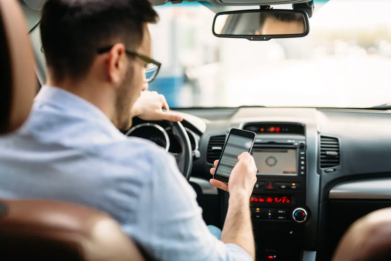
I find the built-in nav handy when things get messy due to bad traffic and it's unsafe to start poking at an app on the phone. Pulling up alternate routes on waze is really tedious sometimes, and definitely not a distraction you want while moving. I can hit the MAP button the nav and get a second screen look at the surrounding roads, without disrupting what's going on with the phone. If the roads on the nav show a better option I can turn, and the phone app will recalculate accordingly.
On long trips we've done dueling nav apps when heading through the NYC area. Google Maps says one thing, waze says something entirely different, and it's 50/50 which one is going to be worse. I don't regularly drive through there so it's coin-toss time.
I'm glad to have options when it comes to routing and maps. But, like anything, you have to understand the limits of what they can do. Otherwise you're just going to be some crabby-old-grouch bitching about "how it used to be" and "algorithms". Whatever.